Green Belt articles
Our expert explanations of what the Green Belt is, how it works and your opportunities for building there, constantly updated
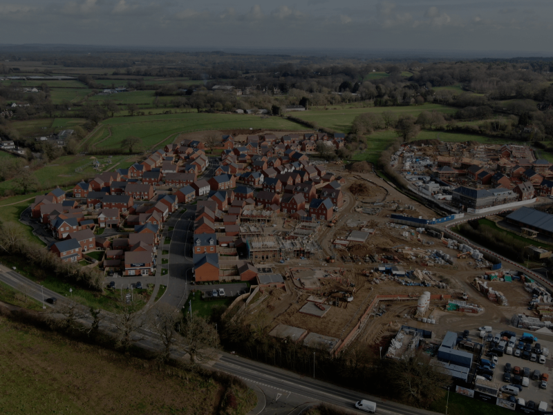
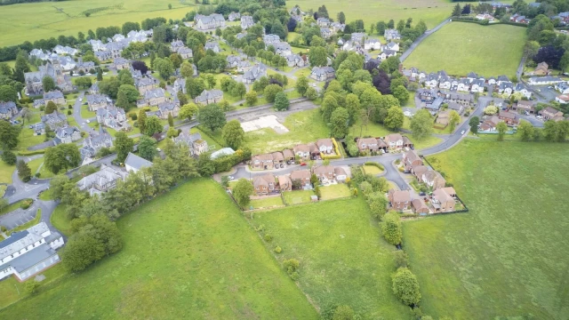
If your land is in the Green Belt, planning rules are stricter and planning permission is usually harder to secure. However, getting planning permission to build on the Green Belt is still possible in the right circumstances.
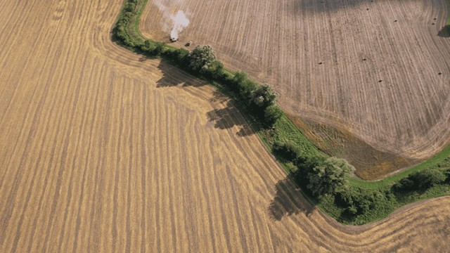
The first step is to check whether your site is actually within the Green Belt. There are very few England-wide Green Belt maps, and most are a few years out of date. Our map below uses the latest available government data.
To see whether a property or plot is in the Green Belt, type in the postcode and check whether it falls within one of the large green-shaded areas. It’s as simple as that.
Alongside the Green Belt, the new NPPF introduces the concept of the Grey Belt to unlock sites for housing while maintaining essential Green Belt protections. Check your land’s potential eligibility for Grey Belt status with our Grey Belt Assessment tool.
(NB: Small, unconnected green areas on the map, like parks and playing fields, are not part of the Green Belt but are usually protected.)
Our expert explanations of what the Green Belt is, how it works and your opportunities for building there, constantly updated


For years, the government was curiously reluctant to reveal the exact boundaries of England’s Green Belts. Now that this information is available, we are proud to share it with you through our constantly updated interactive map.

BA(Hons) MA
Managing Director

We specialise in crafting creative design and planning strategies to unlock the hidden potential of developments, secure planning permission and deliver imaginative projects on tricky sites
Write us a message