Read next
The latest news, updates and expert views for ambitious, high-achieving and purpose-driven homeowners and property entrepreneurs.


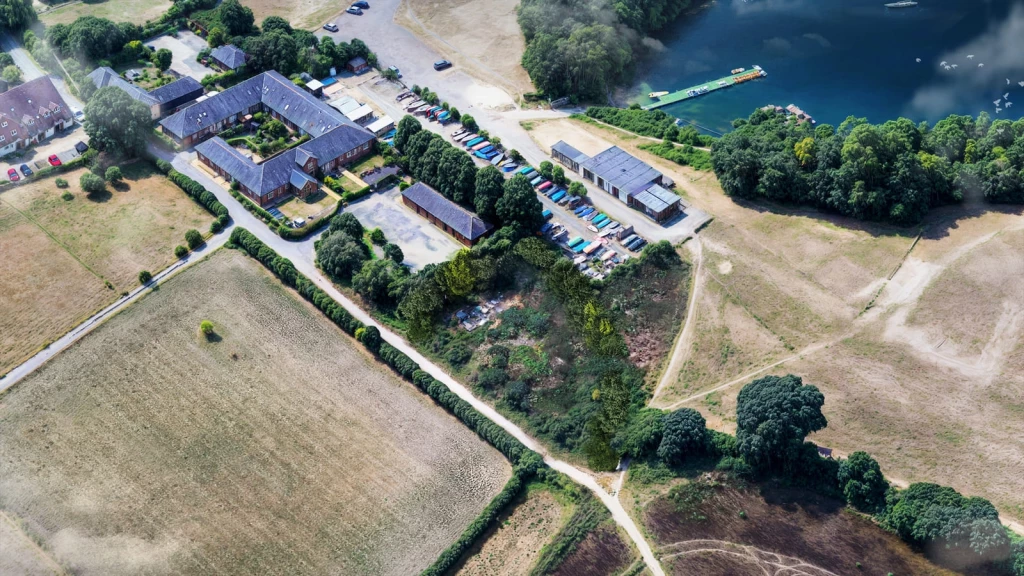
For many landowners, a Green Belt boundary has long felt like the end of the development conversation.
Grey Belt policy is changing that.
Since its introduction in December 2024, land previously assumed to have little prospect of development has gained a defined policy route. The NPPF 2026 has developed that framework further, and appeal decisions are showing where the opportunities become real.
Inspectors have allowed housing, renewable energy and traveller proposals where the evidence supports Grey Belt status and the relevant development tests are satisfied. Some schemes have succeeded despite an earlier refusal or an unfavourable assessment of the wider Green Belt parcel.
That creates a more encouraging starting point for landowners and developers. It also makes understanding the reasoning behind each decision increasingly valuable.
This article examines more than 20 appeal examples, alongside selected council decisions, to explain which arguments support approval and where proposals encounter difficulty. Drawing on our research at Urbanist Architecture, it shows how classification, evidenced need, accessibility and architectural design can combine to create a persuasive planning case.
Under the NPPF 2026, the Grey Belt classification sits in policy GB7(1)(g). The applicant’s professional team must provide evidence demonstrating the following:
The development would use Grey Belt land without fundamentally undermining the purposes, taken together, of the remaining Green Belt across the plan area.
There is evidenced unmet need for the type of development proposed.
The location is sustainable, with particular reference to TR3.
Major development involving housing complies with the Golden Rules.
The classification focuses on whether land strongly contributes to purposes (a), (b) or (d). Annex E provides the plan-making assessment process; inspectors also consider its contribution criteria when examining individual sites.
Where the route is satisfied, very special circumstances are unnecessary. The wider assessment follows under S5(5): approval should follow unless adverse effects substantially outweigh the benefits.

Our analysis of Grey Belt appeal decisions identifies four recurring issues that help explain why some appeals succeed and others fail:
The decisions below are grouped by the issue they illustrate, showing how the Planning Inspectorate applies the policy to individual proposals.
Each case links to the official government decision document and identifies whether the proposal sought permission in principle, outline permission or full permission, because these stages determine different matters and require different levels of detail.
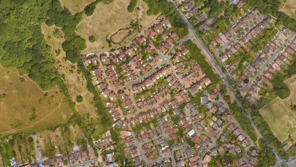
Grey Belt classification depends on the contribution made by the actual site, which may differ from the findings of a wider strategic Green Belt assessment. These decisions show why site boundaries, surrounding development and the relationship with nearby settlements need close examination. For the architects and planning consultants, the task is to demonstrate how the assessment applies to the land proposed for development.
Location: Willow Tree Farm, Denham Lane, Chalfont St Peter
Type of development: Outline application for up to four homes on manège and garden land.
Outcome: Appeal dismissed; outline planning permission refused.
Key lesson: A boundary that contains the settlement can work against land beyond it. Need and accessibility cannot establish Grey Belt status where the contribution evidence points the other way.
Location: Land beside Ninesprings Cottage, Wymondley Road, Hitchin
Type of development: Permission in principle for one home.
Outcome: Appeal allowed; permission in principle granted.
Key lesson: A strategic parcel rating is relevant evidence, but the site’s own boundaries and settlement relationship need to be demonstrated.

A site's connectivity score provides a starting point, but inspectors also examine how people would reach services and public transport in practice. Footways, lighting, traffic conditions and the availability of useful transport services can materially affect that judgement. These cases show why apparently similar locations can produce different appeal outcomes.
Location: Land beside Oaklands Drive, Copthorne Bank
Type of development: Full application for seven houses.
Outcome: Appeal dismissed; full planning permission refused.
Key lesson: Assess the entire walking route. A favourable score cannot compensate for a section that makes everyday journeys unsafe or impractical.
Location: Frontage land south of Coppice Road, Higher Poynton
Type of development: Permission in principle for between one and seven homes.
Outcome: Appeal allowed; permission in principle granted.
Key lesson: The same score can accompany different outcomes. The practical journey and services determine what the score means for the site.
Location: Land beside Hatton station, Hatton
Type of development: Full application for 28 affordable homes, with 75% for social rent.
Outcome: Appeal dismissed; full planning permission refused.
Key lesson: Transport works need to answer the actual accessibility problem and be deliverable and secured as part of the proposal.
Hatton also shows why the separate station-led development route must be tested on its own terms. A nearby station is not automatically a qualifying station, and a qualifying station would not remove the other requirements of that route.
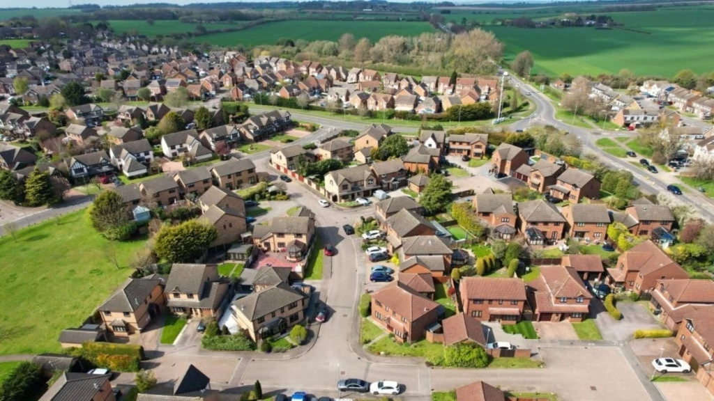
The Grey Belt route requires evidence of need for the specific development proposed. A housing shortfall alone may not justify a replacement dwelling, an extension or a non-housing use. These decisions also show why the applicant’s architects and planning consultants should consider whether another Green Belt exception provides a better route to permission.
Location: Oaktree, Liverpool Road, Neston
Type of development: Full application for a large two-storey self-build house replacing a bungalow.
Outcome: Appeal dismissed; full planning permission refused.
Key lesson: Explain the need for the particular proposal and test the replacement exception directly. This finding does not mean every replacement dwelling must fail.
Location: Land beside Clouds, Rockshaw Road, Merstham
Type of development: Permission in principle for three detached houses.
Outcome: Appeal allowed; permission in principle granted through village infilling.
Key lesson: An approval mentioning Grey Belt may succeed through another exception. Identify the route before using it as a comparison.
Supply and delivery are different measures. The forward-looking supply position identifies deliverable sites, while Housing Delivery Test results concern homes delivered against requirements. The applicable need test should be checked against the current evidence for the authority.
Passing the Green Belt policy tests can establish that development is not inappropriate, but the wider planning assessment still determines whether permission should be granted. Landscape, heritage, living conditions and technical constraints can remain decisive. These cases illustrate why establishing the principle of development must be accompanied by an acceptable design and sufficient supporting evidence.
Location: Land south of Warren Lane, Hurst Green
Type of development: Outline application for up to 132 homes, including 50% affordable housing.
Outcome: Appeal dismissed; outline planning permission refused.
Key lesson: Investigate adjoining uses early. A technical constraint can determine the outcome even where classification and policy contributions are resolved.
Location: Oozedam, High Road, Fobbing
Type of development: Full application for five homes in a backland cul-de-sac behind an existing house.
Outcome: Appeal dismissed; full planning permission refused.
Key lesson: The layout must respond to settlement pattern. A form suited to a suburban estate may be unacceptable on a linear village edge.
For a design team, the Fobbing finding changes the drawings that need testing. Compare the proposed building line, plot depth, access and views between buildings with the existing frontage. If the layout introduces a different settlement pattern, planting alone may not resolve the objection. Where higher housing density is proposed, test how it can respond to the site's character and constraints before fixing the number of homes.
Location: Undeveloped land in the Surrey Hills National Landscape, Milford
Type of development: Outline application for one self-build home.
Outcome: Appeal dismissed; outline planning permission refused.
Key lesson: Grey Belt classification and landscape protection are separate questions. Resolving the former does not remove the latter.
The successful cases show how Grey Belt status, evidenced need, accessibility and a suitable development proposal can support one another. Where the Golden Rules apply, affordable housing, infrastructure and accessible green space also form part of the case. These decisions offer practical examples of how applicants can bring those requirements together.
Location: Paddocks south of Daws Heath Road, Thundersley
Type of development: Outline application for up to 58 homes, including 50% affordable housing.
Outcome: Appeal allowed; outline planning permission granted.
Key lesson: Site-specific classification evidence, need and secured contributions can support a different outcome under changed policy.
Location: Land at Mount Avenue, Chaldon
Type of development: Outline application for up to 30 homes, including 50% affordable housing and woodland open space.
Outcome: Appeal allowed; outline planning permission granted.
Key lesson: Transport improvements can strengthen the case where they address identified shortcomings and are secured, rather than simply promised.
Location: Land east of Wymers Wood Road, Burnham
Type of development: Full application for one self-build house on a 0.16-hectare plot.
Outcome: Appeal allowed; full planning permission granted.
Key lesson: A structured location assessment explains how the evidence fits the policy. A score on its own leaves that reasoning incomplete.

Earlier decisions show how inspectors applied the Grey Belt policy under the NPPF 2024, including the arguments that secured approval and the weaknesses that led to refusal. They remain useful comparisons, but changes to the policy wording and any subsequent legal proceedings must be considered. The cases below distinguish Grey Belt approvals from schemes that succeeded through other Green Belt exceptions.
Location: Land at Broad Lane, Holtspur, Beaconsfield
Type of development: Outline application for up to 120 homes.
Outcome: Appeal allowed on redetermination; outline planning permission granted.
Key lesson: Check whether a decision remains operative. The quashed dismissal no longer represents the outcome for this site.
Location: Land at Grove End, Bagshot
Type of development: Application for up to 135 homes, with at least 50% affordable housing.
Outcome: Appeal allowed; planning permission granted.
Key lesson: Settlement status can affect classification. Examine the hierarchy and the relationship between the actual site and surrounding places.
Location: Former Weylands Treatment Works, Lyon Road, Walton-on-Thames
Type of development: Hybrid commercial and electrical waste recycling scheme with up to 40 affordable homes.
Outcome: Appeal allowed; hybrid planning permission granted.
Key lesson: Check the primary record before relying on a case. An earlier version of this article incorrectly described this appeal as dismissed.
Location: Stanbridge, near Leighton Buzzard
Type of development: 99 extra-care units and a 66-bed care home, with 30% affordable housing.
Outcome: Appeal dismissed; planning permission refused.
Key lesson: Account for applicable contributions when setting land and development assumptions. Classification does not cure a failure to satisfy the chosen route.
Location: Former Hook Estate and Kennels, Northaw
Type of development: 150 extra-care units on an 11.4-hectare site.
Location: Burcot Farm, Burcot
Type of development: Solar farm covering approximately 57 hectares.
Outcome: Appeal allowed; planning permission granted.
Key lesson: Grey Belt can support non-housing development, but resolving the Green Belt route leaves other land-use considerations to be assessed.
Location: Land south of Horseman Side, Navestock
Type of development: Six Gypsy and Traveller pitches, each subject to a separate appeal.
Outcome: Six appeals allowed; planning permission granted.
Key lesson: Traveller need requires its own evidence. A wider parcel rating does not replace examination of each appeal site.
Location: Higher Rads End, Eversholt
Type of development: Two detached two-storey homes on a former builders’ yard.
Outcome: Appeal dismissed; planning permission refused.
Key lesson: Read with Fobbing, this shows why scale and settlement pattern need testing alongside the principle of development.
Location: Shafford Knoll Farm, Lower Road, Nash Mills
Type of development: Outline application for 30 homes and a care home of up to 70 beds.
Outcome: Appeal dismissed; outline planning permission refused.
Key lesson: Assess every boundary, including the weakest. Severe housing undersupply cannot substitute for a defensible classification or layout.
Location: Land opposite the Grade II listed Bentons, Toot Hill
Type of development: Outline application for ten homes, with access determined.
Outcome: Appeal dismissed; outline planning permission refused.
Key lesson: Removal of the earlier definitional exclusion does not establish that this scheme would now succeed. The heritage, location and green-space issues would still require resolution.
Council decisions show how development opportunities are being considered before proposals reach an appeal. However, a committee resolution to grant permission subject to a legal agreement is different from an issued planning permission. These examples also distinguish proposals supported through Grey Belt policy from those relying on very special circumstances.
Location: Cooters End Lane and Ambrose Lane, Harpenden
Type of development: 550 homes, including 130 retirement homes, with a nursery and sports facilities.
Outcome: Resolution to grant subject to a section 106 agreement; issued status unconfirmed in the reviewed records.
Key lesson: Report the stage accurately. A favourable committee vote does not establish an issued Grey Belt permission.
Location: Land west of Laindon Road, Billericay
Type of development: Outline application for up to 250 homes.
Outcome: Resolution to grant; the reviewed evidence did not establish the final permission and policy basis.
Key lesson: Housing need and Grey Belt characteristics can support a case, but check the issued decision before treating a committee resolution as a policy success.
Location: DC01UK site, South Mimms
Type of development: Outline application for a data centre on an 85-acre site.
Outcome: Outline planning permission granted through very special circumstances.
Key lesson: Grey Belt classification does not establish that every development type satisfies the Grey Belt route.
Location: Land beside 148 Swallow Street, Iver
Type of development: Outline application for up to 43 homes.
Outcome: Resolution to grant subject to a section 106 agreement; issued status unconfirmed in the reviewed records.
Key lesson: Distinguish an agreement to approve from a permission that can be implemented. This application is included once, replacing the previous duplicate entries.
What these decisions mean for your development strategy
The introduction of Grey Belt policy has opened a clearer route for considering development on some previously constrained sites. The decisions above show that this opportunity is real, while demonstrating how much depends on the evidence and the proposal itself.
For landowners, the first step is to establish the site's planning context, including whether it lies within the Green Belt. Previously refused or overlooked sites may be worth reassessing where national policy, local housing evidence or the proposed development has changed.
The assessment must then examine the site's contribution to the relevant Green Belt purposes. Surrounding development, physical boundaries and the relationship with nearby settlements can all affect that judgement. A wider strategic assessment may provide useful context, yet the case must explain the contribution made by the actual application site.
Establishing Grey Belt status is only the starting point. The applicant’s professional team must also demonstrate a need for the proposed development, show that the site is in a sustainable location and explain how the proposal addresses the site’s constraints. Where applicable, the proposal must also comply with the Golden Rules.
When comparing appeals, examine the reasoning behind each outcome. Two allowed appeals may use different policy routes. Two sites with the same connectivity score may offer very different everyday journeys. A proposal may pass the Green Belt tests and still fail because its scale, layout or appearance is wrong for the place.
These uncertainties should be investigated before buying a development site, while expectations about capacity and value can still be reconsidered. Assess Grey Belt status and walking connections together, then establish whether necessary transport improvements can be delivered and secured. If those improvements are not achievable, a smaller proposal, a different policy route or a decision not to proceed may be more sensible.
For an existing refusal, identify whether the weakness concerns the land, the policy route or the submitted design and evidence. Check which policy framework informed the decision and whether subsequent changes materially affect its reasoning.
A Green Belt appeal should address the specific weakness that led to refusal. Repeating that the land is Grey Belt will add little where the unresolved concern is an unsafe walking route, odour or an inappropriate layout. The strongest response explains how the proposal or supporting evidence resolves that concern.
When using the cases to inform your strategy:
The objective is to bring the site's Grey Belt assessment, policy route, accessibility and design together into a convincing proposal. These cases help identify where that relationship can break down, giving you the opportunity to strengthen your own scheme before an application or appeal is submitted.

A change in planning policy can transform how land is viewed long before anyone knows what can realistically be built on it. At Urbanist Architecture, we help landowners and developers make informed decisions at that point, when the opportunity is emerging and the consequences of getting it wrong can be substantial.
Our approach starts with understanding what would make development acceptable on your particular site. This is where chartered architects and town planners working together can add the greatest value. We examine its Green Belt role, the available policy routes and the constraints that will shape the proposal. Our analysis of appeal decisions helps us identify which arguments need stronger evidence and which problems require a design response.
That understanding guides the work we produce: site assessments, development options, planning strategies, applications and appeals. We consider the evidence and design together, so that the case made in the planning statement is supported by the scheme shown on the drawings.
For an overlooked site, this may reveal an opportunity that deserves further investment. For a refused scheme, it may identify a practical way to address the objection. Where a fundamental constraint remains, we explain its implications before you commit further.
Our purpose is to give you a clear view of what is worth pursuing, why it has potential and what needs to happen to move it forward.
We look forward to learning how we can help you. Simply fill in the form below and someone on our team will respond to you at the earliest opportunity.
The latest news, updates and expert views for ambitious, high-achieving and purpose-driven homeowners and property entrepreneurs.



We specialise in crafting creative design and planning strategies to unlock the hidden potential of developments, secure planning permission and deliver imaginative projects on tricky sites
Write us a message